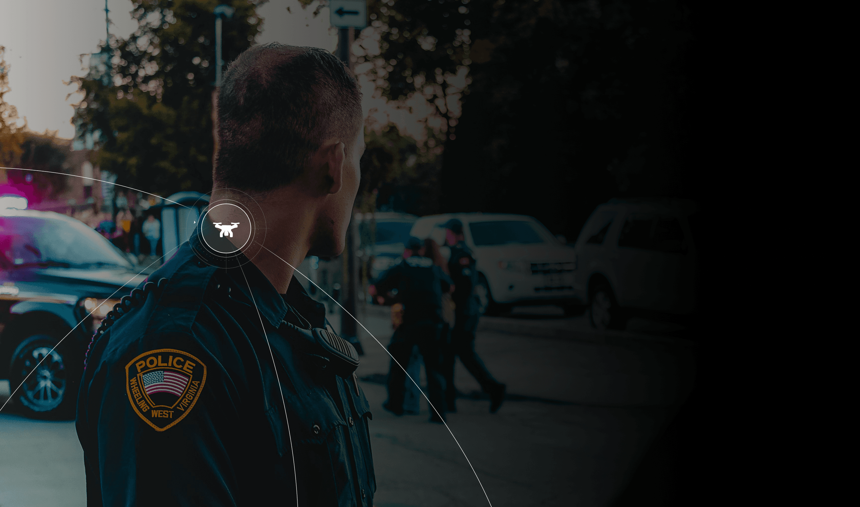
Drone Detection for Law Enforcement
Airspace Intelligence to Fight Crime and Protect the Public
Safeguard communities, strengthen airspace security, and protect officers in the line of duty with SkySafe.

Drone Detection for Law Enforcement
Airspace Intelligence to Fight Crime and Protect the Public
Safeguard communities, strengthen airspace security, and protect officers in the line of duty with SkySafe.

Drone Detection for Law Enforcement
Airspace Intelligence to Fight Crime and Protect the Public
Safeguard communities, strengthen airspace security, and protect officers in the line of duty with SkySafe.
You Can’t Protect What You Can’t Detect
Traditional security wasn't built for drones. SkySafe fills the gap.
1,800+
Drone-related aviation safety incidents have been reported through the FAA’s ASRS system
786k
FAA-registered drones in the U.S., the largest unmanned fleet operating in shared airspace today.
350+
Unauthorized drone incursions have occurred across U.S. military installations in a single year.
100+
Monthly drone reports are logged near U.S. airports, making routine airspace intrusion a persistent operational reality.

High-Flying Crime: The Drone Threats to Law Enforcement
From breaching secure areas and disrupting emergency operations to smuggling and illicit surveillance, malicious drones pose significant threats to public safety. SkySafe’s cloud-based drone detection technology enables law enforcement agencies to instantly identify, track, and analyze suspicious drones.

Fortifying Airspace Security Nationwide
With SkySafe, Law Enforcement Can


Prevent access
Use drone surveillance to detect and locate potentially malicious drones before they infiltrate restricted areas.


Improve emergency operations
Ensure uninterrupted emergency responses by mitigating disruptions caused by rogue drones.


Enhance public safety
Maintain a secure environment at public events and critical sites, boosting community trust and safety.
How SkySafe Secures Law Enforcement Operations
With SkySafe, your team can:
1
Detect
Receive instant alerts about drones that may threaten public safety, operations, or officers in the line of duty
2
Analyze
Analyze flight patterns, altitude, and operator position to rapidly determine risk profiles
3
Act
Get prosecution-ready forensic reports containing decrypted logs and geolocation data
“SkySafe’s drone airspace awareness solution deemed to have a very high detection rate for all drone types and UAS manufacturers tested”
- FAA UAS Detection Testing and Evaluation Program

The threat is growing. And most security protocols weren’t built for drones. Are you ready to protect your airspace?


“SkySafe’s drone airspace awareness solution deemed to have a very high detection rate for all drone types and UAS manufacturers tested”
- FAA UAS Detection Testing and Evaluation Program

The threat is growing. And most security protocols weren’t built for drones. Are you ready to protect your airspace?


“SkySafe’s drone airspace awareness solution deemed to have a very high detection rate for all drone types and UAS manufacturers tested”
- FAA UAS Detection Testing and Evaluation Program

The threat is growing. And most security protocols weren’t built for drones. Are you ready to protect your airspace?


Resources for Law Enforcement
Resources for Law Enforcement

Law Enforcement
Drone Detection & Airspace Intelligence for Law Enforcement

Law Enforcement
Drone Detection & Airspace Intelligence for Law Enforcement

Law Enforcement
Drone Detection & Airspace Intelligence for Law Enforcement

Law Enforcement
Drone Detection & Airspace Intelligence for Law Enforcement

Prisons
Counter-drone Security for Prisons

Prisons
Counter-drone Security for Prisons

Prisons
Counter-drone Security for Prisons

Prisons
Counter-drone Security for Prisons

Law Enforcement
Counter-drone Security for Law Enforcement

Law Enforcement
Counter-drone Security for Law Enforcement

Law Enforcement
Counter-drone Security for Law Enforcement

Law Enforcement
Counter-drone Security for Law Enforcement
SkySafe: The Missing Layer in Modern Security
Your perimeter security ends at the fence. Drones don’t care. SkySafe brings airspace visibility to the rest of your stack.


