The SkySafe Solution
Detect. Identify. Track. Analyze.
Our cutting edge drone defense technology puts airspace control solutions at your fingertips.
How the SkySafe
tech works
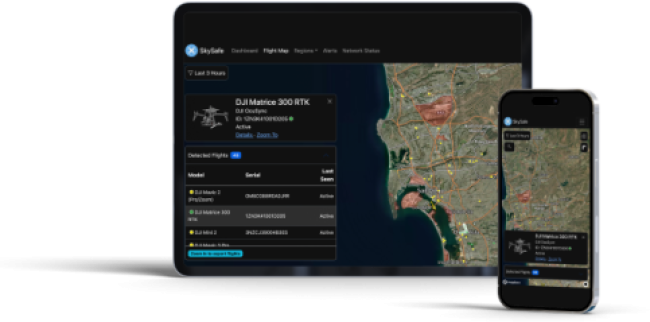
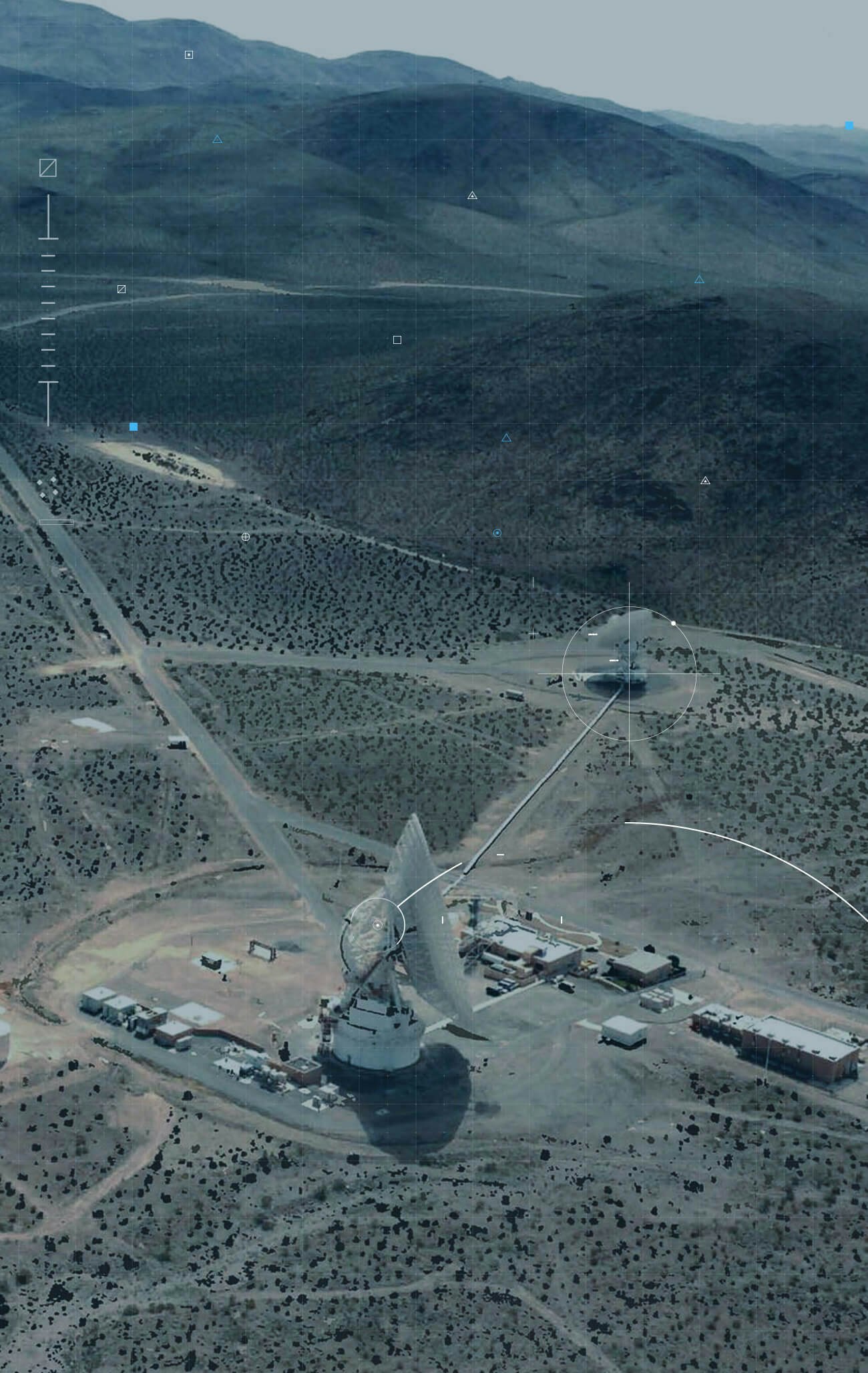
Detect
Conduct drone surveillance
- Get precise drone tracking data — all via secure, cloud-based access.
- Receive real-time alerts about suspicious drones that may impact you.
- Use the drone tracker map to view real-time and historical UAV detection data.
Identify
Classify drone risks
- Differentiate authorized from unauthorized drones to reduce false alarms.
- Quickly assess threat level based on drone type , behavior, and historical flight data.
- Identify drones with detailed UAS data, including model specs, OS version, and recent activity.
Track
Monitor drone activity
- Pinpoint the exact location of unauthorized drones and their operators.
- Track each drone's speed, trajectory, and altitude throughout its entire flight.
- Enhance drone mitigation efforts with accurate flight and location data.
Analyze
Extract actionable insights
- Turn UAV tracking data into courtroom evidence with advanced drone forensics.
- Get prosecutor-ready forensic reports, which include decrypted logs and geolocation data.
- Extract data from recovered drones with the Covert Forensic Imaging Device (CFID).